Around and about Leckhampstead
Leckhampstead is set in the rolling hills of north Buckinghamshire in a rural area close to the historic town of Buckingham.
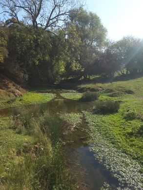
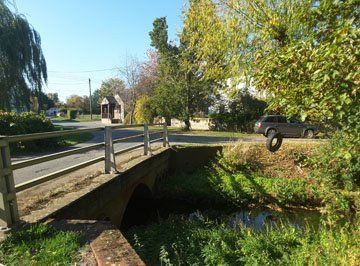
Spread across some 2,570 acres within the Aylesbury Vale area of the Buckinghamshire unitary local government authority, it is bordered in the east by the River Great Ouse and by the county boundary of Northamptonshire to the north. The 7.5 mile stream, the Leck, runs from its source near Silverstone, through the village and on to the Great Ouse.
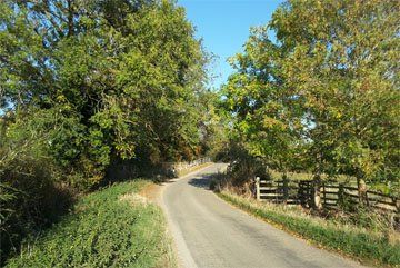
The village is characterised by five distinct areas or ‘Ends’ – Barretts End, South End, Middle End, Church End and Limes End – each with its own cluster of residential properties and interspersed by arable and pasture farmland, with woodland to the north. A smaller area to the east is separated from the rest of the parish by the A422.

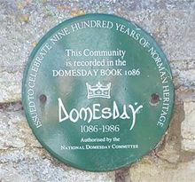
Leckhampstead is recorded in the Domesday Book of 1086 and at that time boasted three manors, of which the largest was held by Gilbert Maminot, the bishop of Bayeux. A 2002 survey by the University of Leicester as part of the Whittlewood Project found evidence of house platforms and pottery dating back to medieval days.
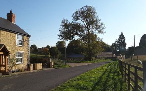
21st century Leckhampstead is a sympathetic mix of historic and modern homes, working farms, miles of public footpaths and bridleways through open countryside, a village hall and green and its most important listed building, the 12th century parish church of St Mary. At one time, it also boasted a village school, pub and shop but which, in common with many other villages, were closed in the 1960s although the buildings remain as private homes.